Master Drone-Based Surveying, GIS Mapping, and Aerial Surveillance with CIGPL’s Specialist Training Program
Drones have fundamentally changed the way land is surveyed, mapped, and monitored across India. From large-scale infrastructure projects and urban planning to mining operations, border surveillance, and precision agriculture, drone-based surveying and mapping has become an essential tool for professionals across dozens of industries.
This is a combined program that begins with the DGCA Remote Pilot Certificate (RPC) training, followed by the specialist Surveillance, Survey and Mapping course. CIGPL Drone Training’s Surveillance and Mapping Drone Course is a comprehensive, practical program that equips you with the skills to plan and execute aerial surveys, process geospatial data, and deliver accurate, professional-grade maps, 3D models, and reports.
Whether you are a certified drone pilot looking to specialise, a surveyor or engineer transitioning to aerial data collection, or a GIS professional expanding your skill set, this course provides the technical knowledge and hands-on training you need to work with confidence.
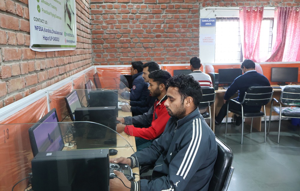
What is Drone Surveillance and Mapping?
Drone surveillance and mapping involves the use of unmanned aerial vehicles (UAVs) equipped with high-resolution cameras, multispectral sensors, thermal sensors, and LiDAR systems to collect data from the air. This data is then processed using photogrammetry software and GIS platforms to produce:
- Orthomosaic Maps: Highly accurate aerial images stitched together into georeferenced, large-scale maps
- Digital Elevation Models (DEMs): 3D terrain representations used in engineering, construction, and flood risk analysis
- Digital Terrain Models (DTMs): Ground-level terrain data without surface features
- 3D Point Clouds: Dense spatial data used for volumetric calculations and asset modelling
- Contour Maps: Terrain contour data for civil engineering and land development
- Surveillance Footage: Real-time and recorded video for security, crowd management, and border monitoring
Course Highlights
- Comprehensive coverage of aerial surveying theory and practice
- Hands-on field training in real surveying scenarios
- Training on professional drone survey equipment and payloads
- Data processing using industry-standard software including Pix4D, DroneDeploy, QGIS, and ArcGIS
- RTK and PPK GPS workflow for centimetre-level accuracy
- End-to-end project delivery from mission planning to final output
- Taught by experienced drone survey professionals with field project backgrounds
- Industry-accredited certificate upon completion
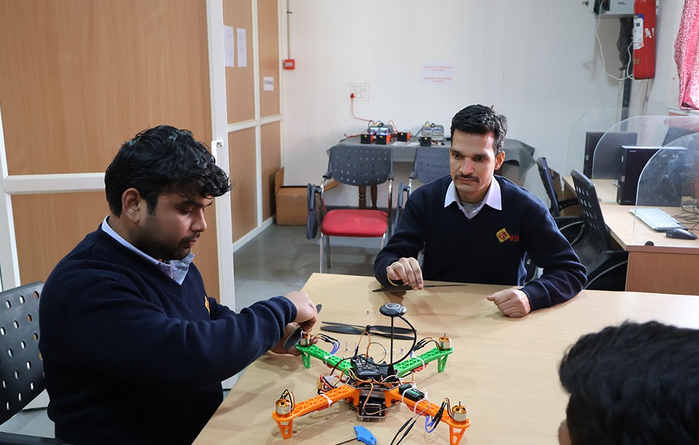
Course Curriculum
Module 1: Foundations of Drone Surveying and Mapping
- Introduction to UAVs and their role in modern surveying
- Drone types and their applications in mapping (multirotor, fixed-wing)
- Understanding drone sensors: RGB cameras, multispectral, thermal, and LiDAR
- DGCA regulations and compliance for survey drone operations
- Safety protocols for field survey operations
Module 2: Mission Planning
- Fundamentals of aerial photogrammetry and image geometry
- Ground sampling distance (GSD) and its impact on data quality
- Flight path planning and overlap settings for accurate data capture
- Coordinate systems, georeferencing, and projection basics
- Ground Control Point (GCP) placement and best practices
- Mission planning using DroneDeploy, Pix4Dcapture, and related software
Module 3: Field Operations
- Pre-flight checks and site assessment for survey missions
- Setting and measuring Ground Control Points (GCPs) using GNSS/GPS equipment
- RTK (Real-Time Kinematic) drone operations for high-accuracy surveys
- PPK (Post-Processed Kinematic) data collection and correction workflows
- Executing mapping missions: image acquisition, coverage verification, data download
- Surveillance flight operations: area monitoring, route patrol, target tracking
Module 4: Data Processing and Analysis
- Introduction to photogrammetry software: Pix4D and DroneDeploy
- Processing raw drone images to generate orthomosaic maps
- Creating Digital Elevation Models (DEM) and Digital Terrain Models (DTM)
- Generating 3D point clouds and surface models
- Volumetric calculations for mining, stockpile management, and earthworks
- Point cloud editing and noise removal
- Ortho-photo editing and quality control
Module 5: GIS Integration and Output Delivery
- Introduction to GIS platforms: QGIS and ArcGIS
- Importing and analysing drone survey data in GIS environments
- Creating professional maps, terrain analyses, and feature extraction outputs
- Generating client-ready reports and deliverables
- Data management and archiving for project documentation
Module 6: Applied Industry Projects
- Infrastructure and construction site monitoring
- Land survey and boundary mapping
- Agricultural mapping: crop health, field planning, and yield estimation
- Mining and quarry volumetric surveys
- Urban planning and smart city mapping
- Disaster response and environmental monitoring surveys
- Surveillance and security mapping applications
Eligibility Criteria
- Recommended: Valid DGCA Remote Pilot Certificate (Small or Medium Category)
- Open to: Surveyors, GIS professionals, civil engineers, agricultural specialists, government professionals, and drone pilots
- Minimum Age: 18 years
- Educational Background: Degree or diploma in a relevant field preferred but not mandatory
Software Tools Covered
- Pix4Dmapper and Pix4Dcapture
- DroneDeploy
- QGIS
- ArcGIS
- Agisoft Metashape (overview)
- CloudCompare for point cloud processing
Career Opportunities
The Surveillance and Mapping Drone Course from CIGPL opens doors to high-value, in-demand careers across multiple sectors:
- Drone Survey Pilot and Data Analyst
- GIS Specialist and Remote Sensing Professional
- Infrastructure and Construction Site Monitoring Expert
- Agricultural Drone Data Analyst
- Mining and Quarry Survey Specialist
- Urban Planning and Smart City Consultant
- Government Land Records and Revenue Department Professional
- Defence and Border Surveillance Operator
- Drone Services Business Owner
With India’s government actively investing in drone-based land records modernisation, infrastructure monitoring, and precision agriculture under schemes such as the Drone Policy and Swamitva Yojana, demand for qualified drone mapping professionals has never been higher.
Why Choose CIGPL for Drone Surveillance and Mapping Training?
- Real Field Experience: Training is conducted on actual survey sites, not just classrooms. You will collect, process, and deliver real project data during your course.
- Industry-Standard Tools: We train you on the same software platforms used by top surveying firms, government agencies, and drone service companies.
- Expert Faculty: Our instructors are practicing drone survey professionals with hands-on experience in infrastructure, agriculture, and GIS.
- End-to-End Workflow: From mission planning and GCP setup to data processing and final report delivery, we cover the complete professional workflow.
- DGCA-Recognised Organisation: CIGPL is a DGCA-approved RPTO, ensuring your training and certificate carry full government recognition.
Fees and Enrollment
Course Fee: Rs. 60,000 to 70,000 for the combined RPC and Surveillance and Mapping program. Discount available. Contact our team for batch dates and enrollment. Limited seats are available per batch to ensure quality training.