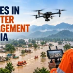
How Drones Are Being Used for Disaster Management in India
Quick Summary
- Drones cover 16 times more area and are 25 times more efficient than manual ground methods in disaster zones, compressing the critical window between disaster and rescue.
- Thermal camera drones locate trapped survivors by detecting human heat signatures through rubble, smoke, and dense forest, guiding rescue teams precisely without guesswork.
- During a formally declared disaster, the Disaster Management Act of 2005 supersedes standard drone regulations, allowing authorised agencies to bypass NPNT and airspace restrictions for immediate deployment.
- Experienced disaster response drone pilots working under government contracts earn Rs. 16 to Rs. 24 lakhs annually, making it one of the highest-paying specialisations in Indian commercial drone operations.
In July 2024, a catastrophic landslide buried the villages of Mundakkai and Chooralmala in Wayanad, Kerala, killing over 420 people and severing the only bridge connecting the region to the outside world. Roads were gone. The terrain was unstable. Continuous rain made ground operations dangerous.
The first useful intelligence about where survivors might be came from the air.
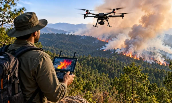
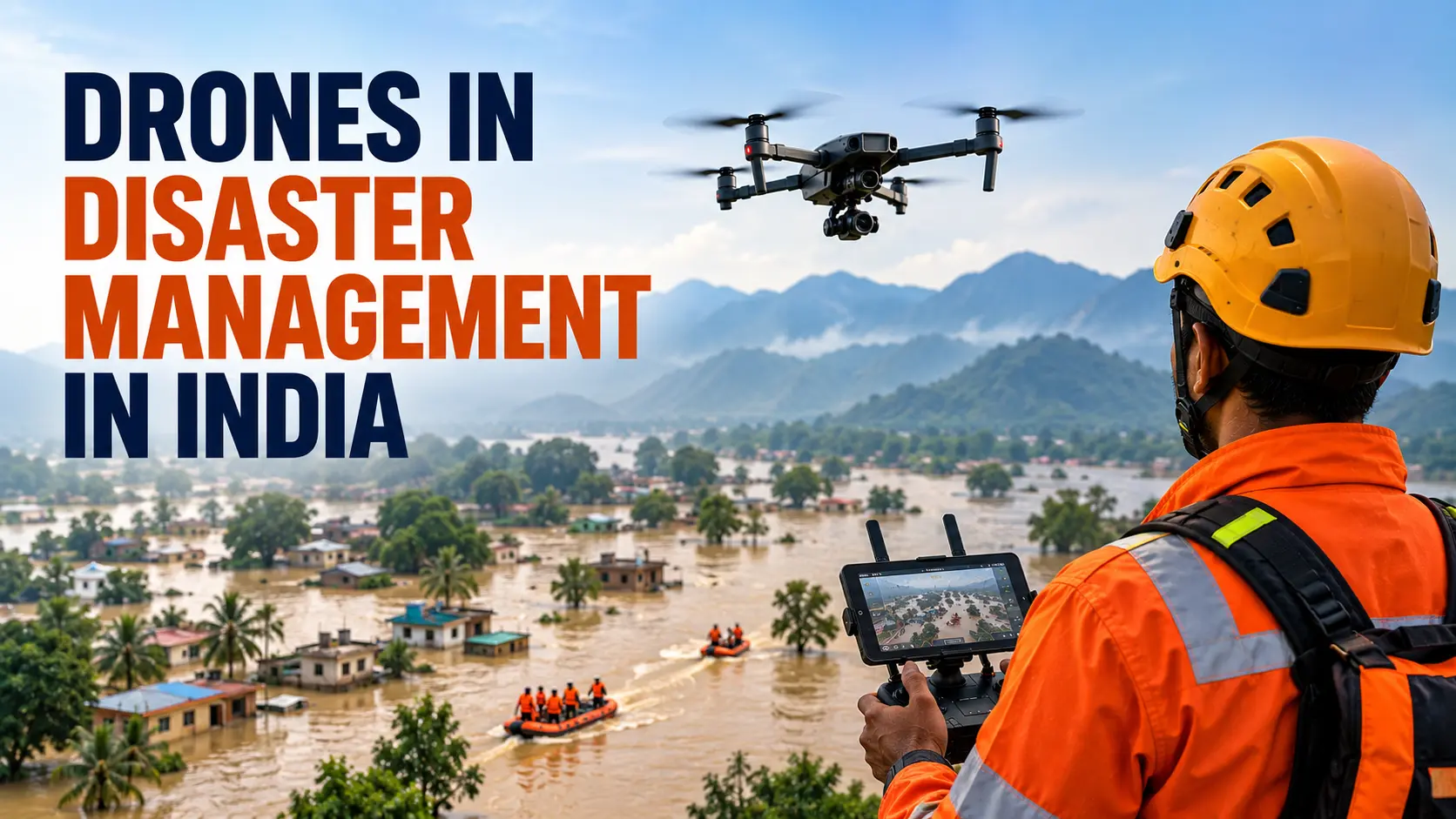
Drones equipped with thermal imaging cameras were deployed immediately to map the altered landscape and scan the debris for human heat signatures. They acted as aerial communication relays when ground networks failed, and transported small batches of critical medicines to survivors isolated in local resorts and schools. The search phase that would have taken days on foot was compressed into hours from the air.
This is not an exceptional case anymore. Across Uttarakhand, West Bengal, Himachal Pradesh, and Kerala, the story of Indian disaster response has been quietly rewritten over the last five years. Drones are now operational tools, not experimental additions.
What Drones Actually Do in a Disaster Zone
The roles drones play in disaster management span the entire emergency cycle, from before a disaster strikes to the recovery that follows.
Pre-disaster risk mapping: Drones generate 3D terrain models of vulnerable areas like the landslide-prone hills of Uttarakhand and Karnataka. These Digital Elevation Models track changes in construction patterns, riverbanks, and forest cover, helping authorities identify high-risk zones before the monsoon season begins.
Damage assessment: In the immediate aftermath of a disaster, ground infrastructure is often destroyed and emergency commanders are flying blind. Drones with high-resolution cameras and LiDAR sensors survey affected areas within minutes, producing orthomosaic maps that show structural collapses, submerged roads, and blocked evacuation routes. AI-assisted systems can evaluate the structural condition of up to 2,000 houses in just seven minutes, a task that would take ground teams several days.
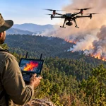
Search and rescue: This is where thermal cameras change everything. When survivors are buried under rubble or hidden in dense debris, visual identification is impossible. Thermal drones detect the infrared heat signatures of human bodies against cooler backgrounds, marking precise GPS coordinates for rescue teams. The Silkyara tunnel collapse in 2023, where 41 workers were trapped underground for weeks, saw micro-drones deployed into the tunnel cavities to continuously monitor wall stability and guide the drilling teams to safety.
Supply delivery: Heavy-lift cargo drones have become logistical lifelines where roads do not exist. Drones carry blood samples, vaccines, water purification tablets, and food rations. Platforms capable of carrying up to 100 kg of cargo can drop supplies via automated winch systems onto flooded rooftops or steep hillsides where landing is impossible.
Communication relay: When cyclones or floods destroy cellular towers, drones hover over affected areas to establish temporary mesh networks and cellular links, keeping rescue battalions connected to command centres during the critical early hours.
The Case Studies That Changed How India Thinks About Disaster Response
Chamoli Glacier Burst, Uttarakhand (2021): When a rock and ice avalanche obliterated access roads and trapped workers inside a tunnel at the Tapovan hydel project, Army and NDRF drones traced the path of destruction along the river basin, located stranded individuals in completely inaccessible terrain, and directed drilling equipment to the exact entry point needed for rescue.
Silkyara Tunnel Collapse, Uttarakhand (2023): Micro-drones flew inside the collapsed tunnel to monitor debris stability and provide real-time visuals to engineering teams. All 41 workers were successfully evacuated.
Medical deliveries in Keylong, Himachal Pradesh (2024): With winter snowfall cutting off mountain communities entirely, drones completed 15 sorties to deliver 1,000 units of essential medicines to Primary Healthcare Centres in the Middle Himalayan Range, operating in sub-zero temperatures where battery endurance drops significantly.
Wayanad Landslides, Kerala (2024): Thermal drones scanned debris fields for human heat signatures, aerial relays restored communication in isolated areas, and supply drones reached survivors cut off by terrain that ground vehicles could not cross.
Who Deploys Them and What the Rules Say
The primary agencies using drones in disaster response are the National Disaster Response Force (NDRF), State Disaster Response Forces (SDRF), Indian Army Aviation, and state police departments. Private companies like Garud Survey, Indrones, Skye Air, and Garuda Aerospace regularly fulfill government emergency response contracts.
Normally, commercial drone flights in India are tightly regulated. Every drone above 250g needs a UIN, every pilot needs an RPC, and the No Permission No Takeoff system physically prevents flights without digital clearance.
During a formally declared disaster, this changes. The Disaster Management Act of 2005 gives government agencies and their authorised contractors the power to bypass standard NPNT protocols and Yellow and Red Zone restrictions immediately. Emergency SOPs clear civilian manned aviation from critical airspace, giving rescue drones unobstructed access to the low-altitude operational ceiling above disaster zones.
One significant gap remains: the absence of a fully integrated Unmanned Traffic Management system means multiple agencies (NDRF, Army, private contractors, volunteers) sometimes deploy simultaneously without coordination, creating collision risk. This is one of the key issues the Draft Civil Drone Bill 2025 aims to address.
Career Opportunities in This Sector
| Role | Skills Needed Beyond RPC | Salary Range |
|---|---|---|
| Disaster response drone pilot | Thermal imaging, BVLOS, crisis flying | Rs. 16 to 24 LPA (senior, government contracts) |
| GIS analyst | LiDAR processing, photogrammetry, DEMs | Rs. 6 to 12 LPA |
| Payload specialist | Thermal camera calibration, cargo winch systems | Rs. 5 to 10 LPA |
Entry-level pilots earn around Rs. 4 LPA in commercial roles. The jump to Rs. 16 to 24 LPA at the senior level reflects the extreme technical difficulty of flying BVLOS in mountainous terrain under crisis conditions. This specialisation rewards pilots who combine strong flying skills with thermal imaging competence, GIS knowledge, and the psychological ability to perform under intense pressure.
FAQs
No. The Disaster Management Act of 2005 supersedes standard DGCA regulations during a formally declared emergency. Authorised agencies can bypass NPNT restrictions and fly in restricted zones immediately.
It depends on the mission. Multi-rotor drones with thermal cameras are used for search and rescue. Fixed-wing drones are used for wide-area mapping. Heavy-lift hybrid platforms carry cargo into isolated areas.
Private pilots and companies can participate under government contracts. Uncoordinated volunteer flights are a safety risk and are generally discouraged due to the lack of a unified traffic management system.
Thermal cameras detect the heat emitted by human bodies, even through layers of debris, smoke, or dense vegetation. The drone marks the GPS location of heat signatures for rescue teams on the ground.
A DGCA Remote Pilot Certificate is the legal foundation. Senior disaster response roles also require thermal imaging experience, GIS software skills, and often experience with BVLOS operations.
Summary
Across five major disasters in the last four years, drones have consistently been the first useful source of intelligence in Indian emergency response, and increasingly the primary means of delivery into inaccessible terrain. This is no longer an emerging application. It is embedded operational practice.
For drone pilots, this sector offers some of the highest salaries in the industry and work that has a direct impact on how many people survive a disaster. The path starts with a Remote Pilot Certificate at CIGPL. Building toward disaster management roles means adding thermal imaging skills, GIS data competence, and comfort with complex, high-stakes flight environments. Take a look at our full drone training programmes to understand how to build from certification toward specialisation.